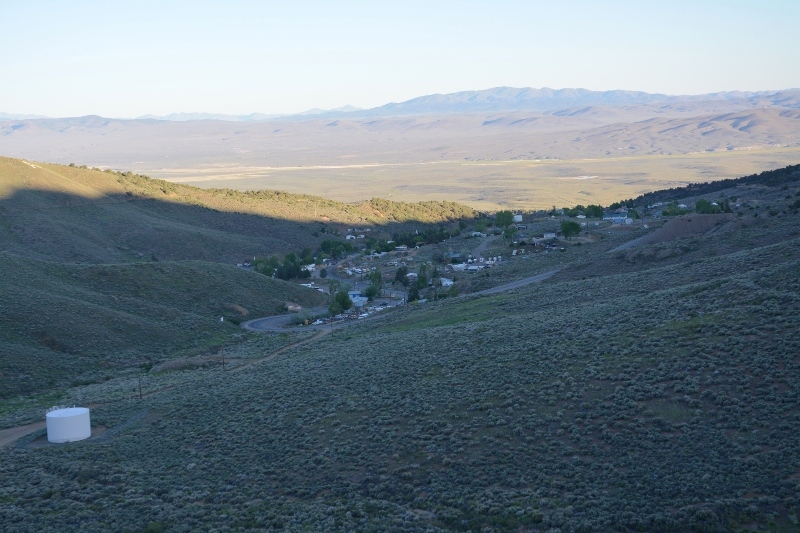
A few climbs to start the day and then flatter as I traveled through wide open valleys. Austin is on a hill and the climbing started right away. The first three miles brought me to the summit of this hill. Photo above shows a look back at Austin from above. The summit was appropriately named “Austin Summit”
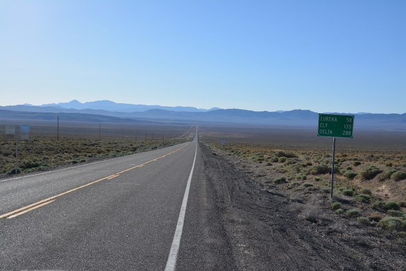
After the summit, two miles of descent that signs said were 6%. Once at the bottom, another climb back again to Bob Scott summit. There was campground and historic sign about early surveyors here. Once again a good descent though this one was longer. At 12 miles came to a road intersection that indicated “loneliest golf course” was an hour south. Also here entered a long flat valley.
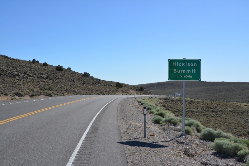
Not too difficult to cycle across this valley and as I approached the other end, it slowly started climbing again to reach Hickison Summit at mile 24.
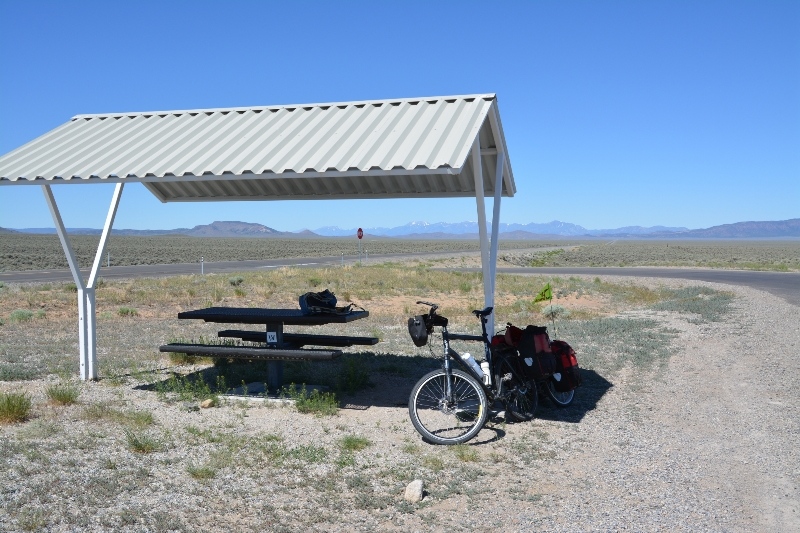
After the summit, only a slight descent and mostly flat as I rode through this next valley. I stopped briefly at 37 miles at the rest area for a bite to eat. Otherwise kept going on this route.
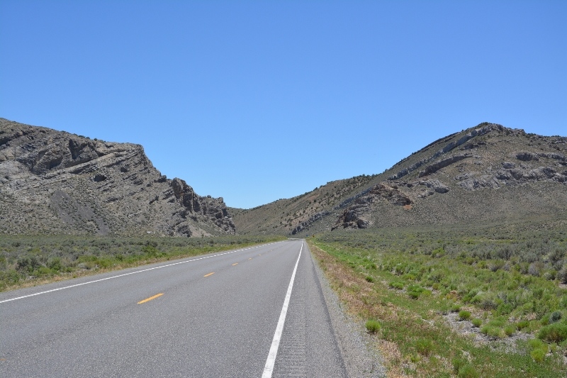
As I got closer to Eureka, the road had a few more ups and downs and also came through some more narrow spaces.
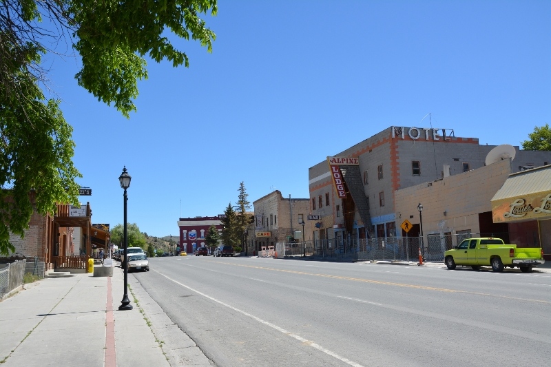
However, nothing too difficult and by early afternoon I had reached Eureka. The town itself was pretty quiet, though I did find folks inside grocery store and cafes in town. I expect a little more climbing tomorrow.

